File:Kennedy's hut edit.jpg
Jump to navigation
Jump to search

Size of this preview: 800 × 534 pixels. Other resolutions: 320 × 213 pixels | 640 × 427 pixels | 1,024 × 683 pixels | 1,280 × 854 pixels | 1,600 × 1,067 pixels.
Original file (1,600 × 1,067 pixels, file size: 667 KB, MIME type: image/jpeg)
File history
Click on a date/time to view the file as it appeared at that time.
| Date/Time | Thumbnail | Dimensions | User | Comment | |
|---|---|---|---|---|---|
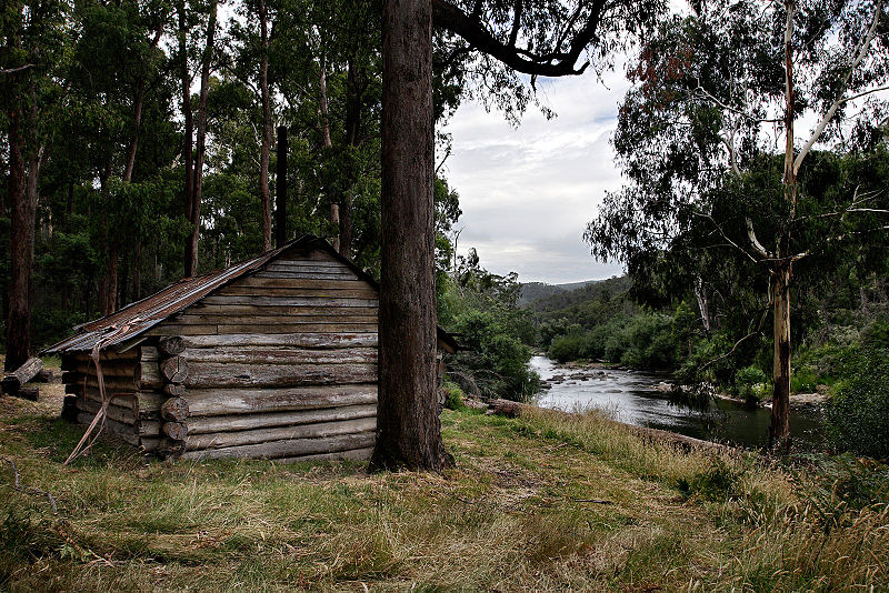
| current | 10:01, 2 April 2006 | | 1,600 × 1,067 (667 KB) | wikimediacommons>Fir0002 | Kennedy's Hut, Alpine Country, East Gippsland, Victoria, Australia Located on the west bank of the Mitta-Mitta river, about 1 km downstream from the AWT bridge at Taylors crossing and showing on the Benambra Leinstar map at GR 585252, not at 590260 as p |
File usage
The following 69 pages use this file:
- Ast:Map Features
- Bg:Key:building
- Buildings
- Ca:Elements cartogràfics
- Ca:Key:building
- Cs:Key:building
- Cs:Map Features
- El:Map Features
- Eo:Map Features
- Fa:Map Features
- Hu:Key:building
- Key:building
- Ko:Key:building
- Ko:Map Features
- Ko:건물
- Ko:지도 지물
- Map features
- Ne:Map Features
- Pl:Key:building
- Pt:Key:building
- Pt:Map Features
- Sr:Map Features
- Sv:Buildings
- Uk:Key:building
- Uk:Об'єкти мапи
- Yue:Key:building
- Yue:Tag:building=hut
- Zh-hans:Key:building
- Zh-hans:Map Features
- Zh-hant:Key:building
- Zh-hant:Map Features
- Wiki:Files used by data items/3
- Template:Bg:Building typology
- Template:Building typology
- Template:Ca:Building typology
- Template:Cs:Building typology
- Template:DE:Building typology
- Template:El:Building typology
- Template:Eo:Building typology
- Template:FR:Building typology
- Template:Generic:ES:Building typology
- Template:Hu:Building typology
- Template:IT:Building typology
- Template:JA:Building typology
- Template:Ko:Building typology
- Template:NL:Building typology
- Template:Pl:Building typology
- Template:Pt:Building typology
- Template:RU:Building typology
- Template:Sv:Building typology
- Template:Uk:Building typology
- Template:Yue:Building typology
- Template:Zh-hans:Building typology
- Template:Zh-hant:Building typology
- DE:Key:building
- DE:Map Features
- FR:Key:building
- FR:Éléments cartographiques
- IT:Buildings
- IT:Key:building
- IT:Map Features
- NL:Kaartelementen
- NL:Key:building
- RU:Key:building
- RU:Tag:building=hut
- RU:Объекты карты
- JA:Key:building
- JA:Map Features
- JA:Tag:building=hut